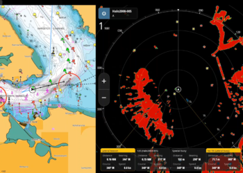
C-MAP has announced new coverage enhancements for Australia, delivering expanded detail and improved navigation insights for recreational boaters and anglers across the country.
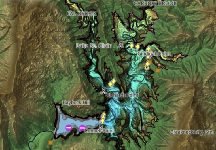
The latest update for DISCOVER, REVEAL and REVEAL X charts delivers enhanced high-resolution bathymetry and shaded relief across key coastal and inland destinations. Improvements include expanded coverage throughout Western Australia and Far North Queensland, alongside 12 new or enhanced inland lakes across Victoria & New South Wales.
Key chart updates include:
Coastal Improvements
- Western Australia: Pasley Islands, Lindas Reef, Breton Reef, Champion Bay, and the Wallabi Group.
- Queensland: Long Reef, Brample Channel, Hannah Bank and Basilisk Passage.
- Victoria: Newfold Bay
Extended Lake coverage:
- Queensland: Lake Barron
- New South Wales: Lake St. Clair, Lostock Dam, Lake Windamere, Lake Oberon and Lake Mummuga.
- Victoria: Mallacota Inlet, Tamboon Inlet, Sydenham Inlaet, Lake Victoria & Lake Tyers.
Additional regional updates
- New Caledonia: REVEAL and REVEAL X coverage now available.
- New Zealand: Five new marine parks within Te Au Rere a Te Rakiwhanoa have been added off the Otago coastline.
Shaded Relief and Satellite imagery are exclusive to C-MAP Reveal and Reveal X and are available on a range of chartplotters from the Lowrance, Simrad® and B&G brands.
These updates are available to both new users and existing customers who purchased a chart within the past year and maintain an active C-MAP subscription. To explore the latest chart data for your area, visit c-map.com/chartexplorer.
For more information about C-MAP and its latest cartography offerings, please visit c-map.com.