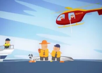
THIS video shows how to use the Bureau of Meterology’s graphical mapping tool, MetEye, to get information on wind and wave conditions so you can be safe when rock fishing. The Bureau’s Tide Prediction portal has also recently been upgraded to provide predicted tide heights and times for over 700 locations around Australia. For more information click HERE.
How to use BOM’s MetEye
Please login to join discussion


